Learning from thousands of GNSS stations
Learning from thousands of GNSS stations
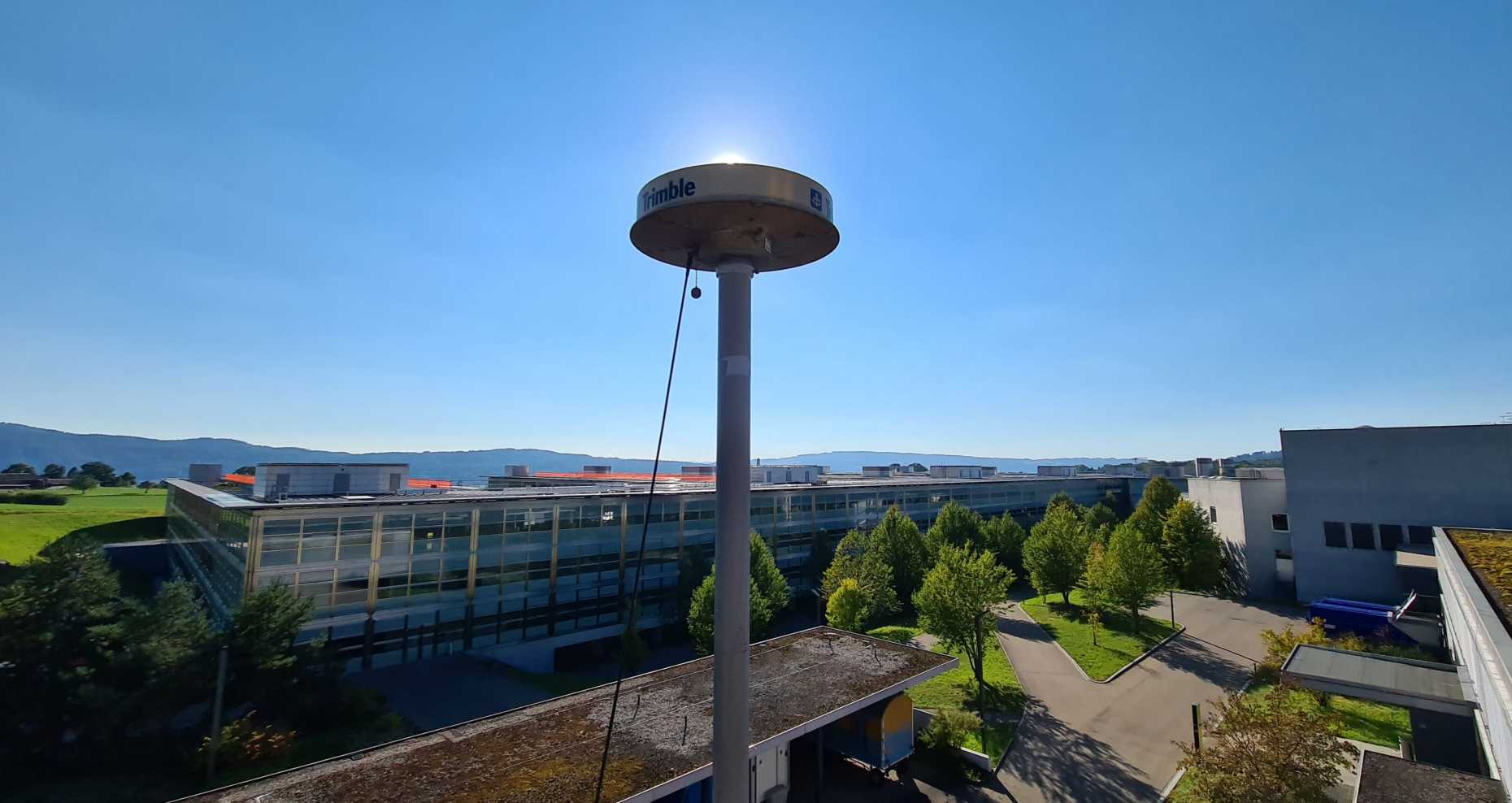
In the past decades, there has been a dramatic increase in the number of stations and satellites of the global navigation satellite system (GNSS). In addition to the Global Positioning System (GPS), the European Galileo, the Russian GLONASS, and the Chinese Beidou system have become operational. Almost 20,000 stations regularly provide data of geodetic quality, meaning that their position can be determined with an accuracy of just a few centimeters or even millimeters. The high accuracy combined with the dense global coverage allows the investigation of several atmospheric, hydrological, and geophysical phenomena.
We are studying the application of machine learning algorithms for the detection and classification of episodic events witness by the GNSS stations, such as seismic or volcanic activity. Furthermore, we apply machine learning architectures for improved parameter prediction, including tropospheric parameters and station positions. We are in the process of deriving specific algorithms for this purpose, considering the uncertainty of the geodetic observations and knowledge on the physical processes. In several applications, this has led to improvements compared to classical statistical methods.
Contacts:
Laura Crocetti, ETH Zurich,
Benedikt Soja, ETH Zurich,
