HERMIT: High-Altitude and Polar Research through Integrated GNSS and Seismic Technology
Project HERMIT aims to develop an advanced sensor platform for high-precision ground movement monitoring in remote areas like glaciers and mountains. The combination of satellite navigation technology with seismic sensors will help us understand how the Earth's surface shifts over time and what influences such changes.
Our goal is to create a robust sensor system that can withstand harsh alpine conditions while remaining affordable and accurate. By integrating Global Navigation Satellite System (GNSS) and seismic sensors, we can track movements at various timescales, from rapid slip events to slow processes unfolding over decades. GNSS observations, including GPS and Galileo, are needed to provide absolute coordinates and monitor long-term changes. The seismometers provide a way to pinpoint the source of a displacement and track motions happening in fractions of a second.
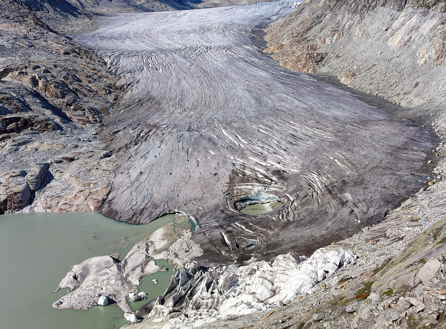
The platform is based on commercial off-the-shelf components to reduce costs without compromising performance. Following lab testing, we will deploy a dense array of ten monitoring stations on the Rhone Glacier in Switzerland. The data collected will offer insights into the mechanisms of the changing sliding motion and its relation to subglacial water flow.
Project HERMIT will innovate the technology to monitor surface movements in polar and high-altitude regions, benefitting future environmental and climate research.
Contacts:
Prof. Dr. Benedikt Soja, ETH Zurich,
Alexander Wolf, ETH Zurich,
Partners:
Dr. Fabian Walter (WSL)
Prof. Dr. Daniel Farinotti (ETH D-BAUG & WSL)
Dr. Stefan Mertl (Mertl Research GmbH)
Mag. Daniel Binder (Potsdam University)
Funding:
Technogrant program, Swiss Polar Institute
External link:
external page High-Altitude and Polar Research through Integrated GNSS and Seismic Technology (HERMIT)