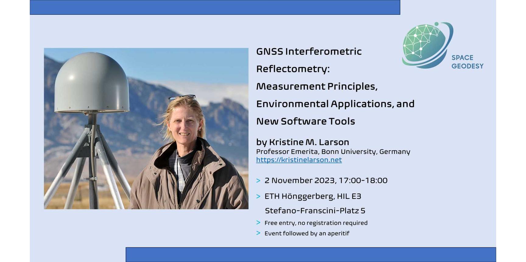
Invitation to the talk of Prof. Kristine M. Larson on 2 November 2023
"GNSS Interferometric Reflectometry: Measurement Principles, Environmental Applications, and New Software Tools"
Kristine has pioneered various ways to utilize GNSS signals for monitoring the Earth and our environment. From earthquakes, sea level to vegetation, she has pushed the boundaries of what GNSS is capable of measuring. For her ground-breaking work, she has received numerous accolades. In her talk, she will give an overview of the principle and versatility of GNSS Interferometric Reflectometry and highlight the most recent developments in this area.

Bio
Kristine M. Larson is a geodesist. She received a B.A. from Harvard University and a Ph.D. from Scripps Institution of Oceanography. She began her career using GPS to measure crustal deformation at both global and regional scales. Her group subsequently used GPS signals to measure seismic waves, synchronized atomic clocks, and developed GNSS interferometric reflectometry. She was awarded the EGU Huygens Medal in 2015, the AGU Whitten Medal in 2020, and is a member of the U.S. National Academy of Sciences. She is currently a professor emerita at the University of Bonn.
Abstract
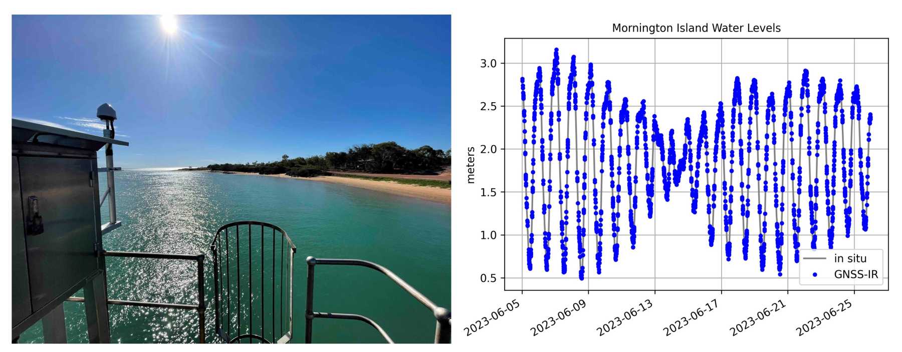
It has long been known that reflected GPS/GNSS signals (multipath) degrade the accuracy of positioning solutions used in geodesy. Although all geodetic GNSS stations use multipath-suppressing antennas, multipath effects are still present in the observations. Removing multipath effects for applications such as crustal deformation and seismology continues to be challenging. However, it is now understood that we can use multipath signals to measure the environment surrounding a GNSS antenna. The extraction of environmental signals from multipath is known as GNSS Interferometric Reflectometry (GNSS-IR). The technique has been validated for measuring surface soil moisture, snow depth, vegetation water content changes, and tides/storm surges/lake and river surfaces. In this talk I will outline the basic principles of GNSS-IR and show some of these environmental results. I will also share information about a external page new open source software package I have developed for GNSS-IR.
